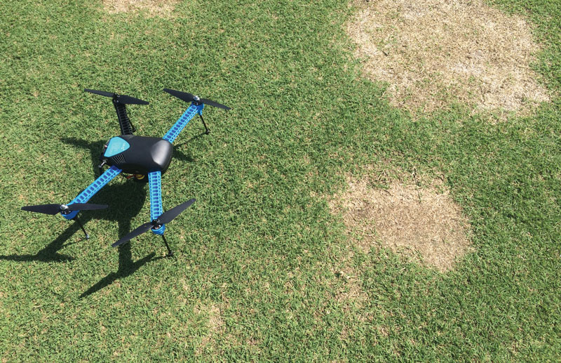
Photo by Jordan Booth
Editor’s note: The following research project is in progress and was featured in the Cutting Edge section of GCM. This research project was funded in part by a grant to GCSAA from the Environmental Institute for Golf.
Spring dead spot (SDS) (caused by Ophiosphaerella species) is among the most destructive diseases of bermudagrass in colder regions of adaptation. Although SDS has an irregular distribution, the disease frequently recurs in the same locations from year to year.
Ophiosphaerella species infect bermudagrass in fall and predispose the warm-season turfgrass to isolated patches of winterkill. Symptoms appear in spring and can persist for months. While fungicide treatments have proved most effective in fall, symptoms are no longer present to guide application.
A common suppression tactic has been to apply two or three blanket fungicide applications across the entire managed acreage in fall. Because of the large area involved, turfgrass managers have opted for more affordable fungicides, producing sporadic results.
Site-specific applications based on historical disease incidence may provide the option of using more effective fungicides, but emerging technologies such as unmanned aerial vehicles (UAVs), or “drones,” present opportunities for rapid mapping of diseases over large areas. This research aims to develop effective methods to map, evaluate and quantify SDS epidemics. We are also comparing site-specific fungicide applications (based on historical disease incidence) with blanket applications. Initial results are encouraging, but more data will be necessary for validation.
Fungicide reduction averaged 51% in 2016 and 65% in 2017. Initial disease suppression data showed that site-specific applications of penthiopyrad were statistically equivalent to full-coverage applications. This research demonstrates how treated fungicide acreage can be reduced using site-specific management from SDS distribution maps.
— Jordan C. Booth, CGCS, and David McCall, Ph.D., Virginia Tech, Blacksburg, Va.
Teresa Carson is GCM’s science editor.