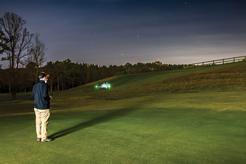
Broadly speaking, drones in turfgrass management fall into two categories: sensing drones and spray drones. This article focuses on sensing drones.
A sensing drone is equipped with cameras or other instruments that capture data about the turf surface. These can range from simple RGB cameras to multispectral, infrared, hyperspectral or LiDAR sensors. Each type collects information within a specific sensing spectrum, allowing managers to associate that data with real turfgrass issues — drought, fertility, weeds, disease, density or overall quality.
The key is not the imagery alone but the ability to link the sensed data to an actual agronomic problem. As in many fields, data itself is not the measurement we care about. Drone imagery showing differences in turf color must be “ground-truthed” to determine the cause of the variation. That might mean collecting soil or tissue samples, checking irrigation patterns or measuring nutrient levels. Once real measurements are taken, the relationship between those measurements and the sensed data can be analyzed. If the correlation is strong, then remote sensing can move diagnostics from days or weeks to minutes or hours.
In this sense, the drone is almost irrelevant. What we are really talking about is remote sensing, regardless of the platform carrying the sensor. The same sensor could be mounted on a drone, mower or utility vehicle. Since mowers cover turf multiple times each week, onboard sensing is a logical direction for practical use. The important question isn’t “What device is carrying the sensor?” but “Can the sensor detect something meaningful and actionable?”
There has been strong research supporting sensing drones. Henderson et al. (2025; DOI: 10.1007/s11119-025-10231-7) mapped spring dead spot. Caturegli et al. (2016; DOI: 10.1371/journal.pone.0158268) used drone imagery to identify nitrogen deficiencies. Hong et al. (2019; DOI: 10.2134/age2019.04.0028) used thermal imaging to detect canopy temperature increases before drought symptoms appeared. Dozens of other studies reinforce the potential.
Still, I have always asked: Can’t we just see this with our eyes? When I first saw drone-generated maps highlighting drought stress or nitrogen deficiency, they were impressive. But I questioned whether the drone added value when superintendents and staff walk these areas every day. Most problems develop gradually, not overnight.
My view has always been that data must change management to be worth collecting. If remote sensing shows drought stress, but the irrigation system cannot make precise adjustments, what is the practical value? If imaging highlights nitrogen variability, but no variable-rate fertilizer system exists, what does the map actually solve? Without a way to turn information into action, the data may be little more than a nice picture.
But over time, my skepticism has softened, for a few reasons.
First, if remote sensing directly leads to a decision that would not have been made through visual scouting alone, then it has value. Henderson et al. is a clear example: The drone-based maps drove a 50% reduction in fungicide applications. That operational change required remote sensing.
Second, the sensed factor has to matter enough to justify investment. Water use is a prime example. In desert or water-restricted regions, detecting drought stress or optimizing irrigation scheduling provides meaningful savings. In the southeastern U.S., where water cost and availability vary widely, the value depends heavily on local conditions.
Finally, before adopting remote sensing, managers must understand how the data will be used. If no operational decision changes as a result, the technology provides little benefit.
One unexpected advantage of remote sensing that recently convinced me is its value as a teaching tool. A superintendent explained how mower-mounted sensors collect data daily. At lunch, the superintendent and assistants review the maps, identify nonuniform areas and send staff to inspect them. This process forces younger turfgrass professionals to learn diagnostics in real time, improving their ability to spot and interpret turfgrass problems.
So, are drones and remote sensing worth it? The answer is yes — but only when the data leads to improved management, creates operational savings or contributes directly to decision-making or staff development. Remote sensing for its own sake is not enough. The technology must be connected to an actionable outcome.
Flagstick in — but not in all situations.
Scott McElroy, Ph.D., is a professor of turfgrass management and weed science in the Department of Crop, Soil & Environmental Sciences at Auburn University, Auburn, Ala. He is a 19-year member of GCSAA.